Samples / Offering memoranda and site-selection decks
Regional map with employer and retail panels
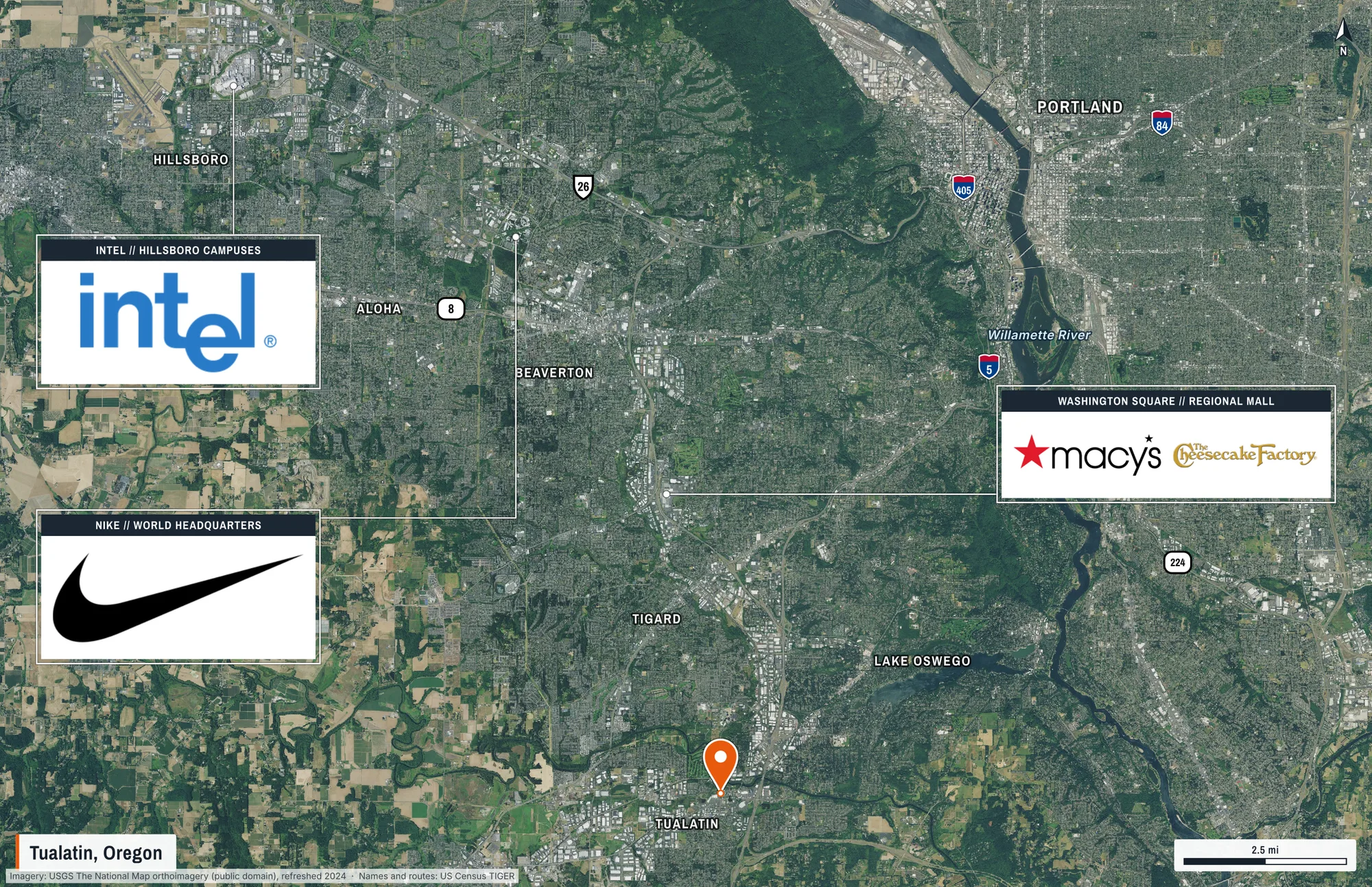
Thirty-four kilometres of the Portland metro around a Tualatin property: cities by size, highway shields, rivers, and framed panels that point at the employers and retail that matter.
What this shows
- Cities, highway shields and rivers drafted from Census data, sized by population.
- Panels with their own headers and logos, each with a leader to the place it describes.
- A pin on the subject, and a scale bar that is true at print size.
What came back
- Page
- 11 × 17 in landscape, true scale
- Frame
- 34 km × 22 km on the ground
- Imagery
- USGS The National Map orthoimagery (public domain), refreshed 2024
- Drawn
- 21 labels, outlines and page elements, placed automatically
The request that made it
{
  "center": [
    -122.775,
    45.462
  ],
  "groundWidthM": 34000,
  "orientation": "landscape",
  "title": "Tualatin, Oregon",
  "autoLabel": {
    "mode": "regional",
    "maxPlaces": 7,
    "maxShields": 6,
    "maxWater": 2
  },
  "annotations": [
    {
      "type": "subject_pin",
      "at": [
        -122.764,
        45.384
      ]
    },
    {
      "type": "panel",
      "at": [
        -122.9186,
        45.5416
      ],
      "label": "Intel",
      "stat": "Hillsboro campuses",
      "body": "logo",
      "logos": [
        {
          "name": "Intel"
        }
      ],
      "anchor": {
        "x": 0.03,
        "y": 0.27
      },
      "width": 0.2
    },
    {
      "type": "panel",
      "at": [
        -122.829,
        45.508
      ],
      "label": "Nike",
      "stat": "World headquarters",
      "body": "logo",
      "logos": [
        {
          "name": "Nike"
        }
      ],
      "anchor": {
        "x": 0.03,
        "y": 0.58
      },
      "width": 0.2
    },
    {
      "type": "panel",
      "at": [
        -122.7812,
        45.4507
      ],
      "label": "Washington Square",
      "stat": "Regional mall",
      "logos": [
        {
          "name": "Macy's"
        },
        {
          "name": "The Cheesecake Factory"
        }
      ],
      "anchor": {
        "x": 0.73,
        "y": 0.44
      },
      "width": 0.24
    }
  ]
}
Send it to POST https://maps.aeralas.com/api/v1/maps/check to see, free, what would be drawn and whether anything had to compromise. Send it to POST https://maps.aeralas.com/api/v1/maps for the print file as a PDF. The same tools are on the MCP server at https://maps.aeralas.com/mcp.
No code? Enter the address in the editor and it drafts the same labels for you to edit.