Sample maps
Each of these was drawn by the renderer that prints yours, from the request shown on its page. Nothing was retouched. Open one to see what was asked for and what came back.
Retail leasing and investment sales
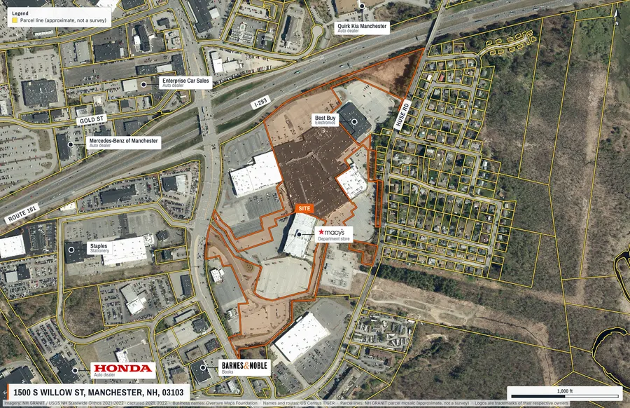
Shopping centre with its lot outlined
A regional mall located by street address, centred on its own tax parcel, with the anchors and neighbours drafted from open data.
Offering memoranda and site-selection decks
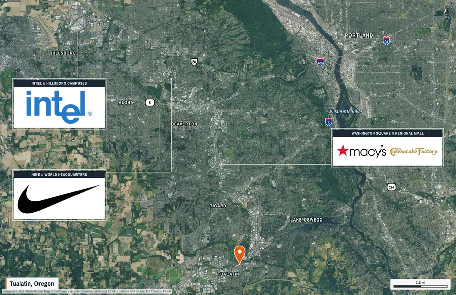
Regional map with employer and retail panels
Thirty-four kilometres of the Portland metro around a Tualatin property: cities by size, highway shields, rivers, and framed panels that point at the employers and retail that matter.
Land brokerage, due diligence and site engineering
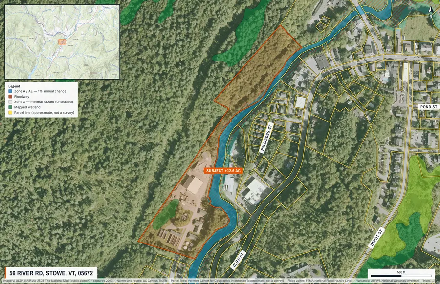
Riverside tract with flood zones and wetlands
A riverside tract outlined from the assessor record, with the FEMA floodplain and mapped wetlands drawn under it and a legend that matches.
Pad sites, ground leases and tenant representation
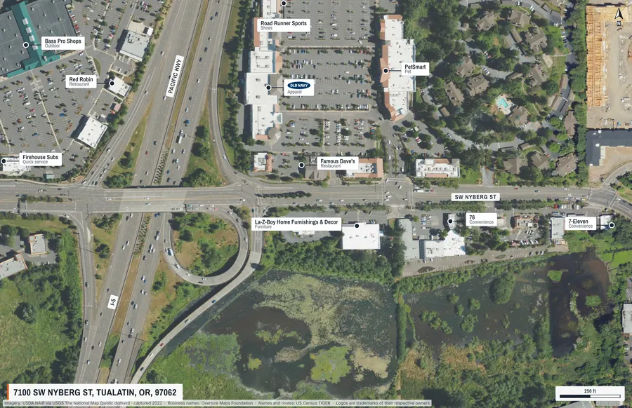
Freeway retail node, chains only
A freeway interchange and the retail around it, with recognised chains only and the road names set along the roads.
Listings, appraisals and small commercial lots
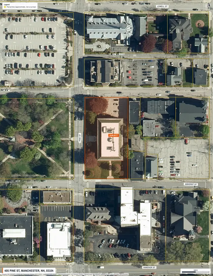
City lot on a letter-size sheet
A one-acre downtown lot at six-inch imagery, outlined from the parcel record on an 8.5 × 11 portrait page.